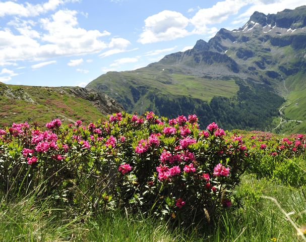
Hiking fun in unspoilt nature
Beautiful hikes around Hafling and Meran 2000
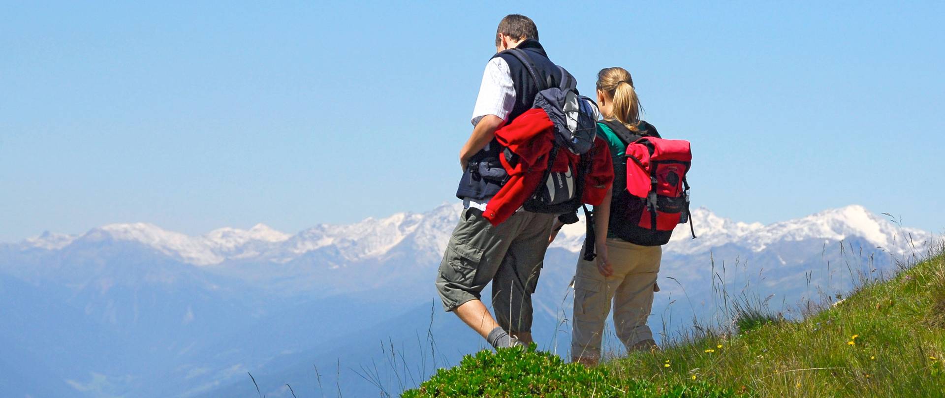
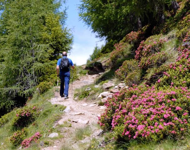
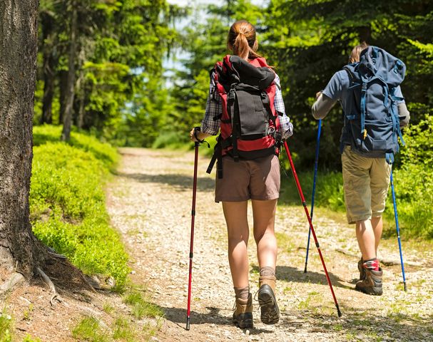
The hiking area around the resort Hafling and Merano 2000 is proving to be a hiker's paradise. Surrounded by the unique mountains of South Tyrol, nature lovers and hiking enthusiasts will find numerous, well-marked trails.
Hiking in Merano 2000 is always fascinating. The panoramic view is impressive and the fresh mountain air makes you feel better. Whether young or old, the hiking area around Meran 2000 is a true experience.
The new Haflinger Adventure Trail, which reaches from Hafling village to St. Kathrein, is dedicated to the docile and majestic Haflinger horses with their flaxen manes. At the didactial stations along the way, there's plenty to learn about the Haflinger horses and how they evolved over time.
The Haflinger Adventure Trail starts in Hafling village. The trail no. 2 runs past the town hall and over the old "Bürgeleweg". Shortly after reaching the road in the direction Falzeben left branches off a traffic-calmed street, at the end of this road is the destination of the trail in St. Kathrein. Of course you can hike the trail in the opposide direction starting from St. Kathrein!
Duration approx. 45 min.
The Sulfner Weiher, a small nearby lake, is a popular walking destination. The gentle climb is ideal for families and leads across the forest path. In summer times, water-lilies adorn the water and donate an idyllic ambience. Even in winter, the hike is well suited for a cozy little round.
Duration: 20 minutes
For almost 14 km, this cozy tour extends through forests and meadows. Starting point is the car park in Hafling village (1280m). From there follow path no. 16 to the Leadner Alm (1514 m). Continue on a forest road wich runds parallel to trail no. 11 to the Vöraner Alm (1875 m). It now goes up from 1500m to 1900m to the highest point of the walk – the sunny meadows of the Vöraner Alm. The way back to Hafling is shorter, it leads through the forest path no. 2 until our third goal, the Wurzeralm (1707 m). Following path no. 2 it goes basck to our starting point Hafling village. The round hike is recommended through the year - in winter perfect for snowshoe hikes.
Duration 4 hours
From the car park in Falzeben (1621 m) take the path no. 14 to the Zuegghütte (1765 m) towards Meran 2000 (or take the cabin to this point). Then continue via Waidmannalm (1998 m), Kirsteiger Hütte and Meraner Hütte (1960 m). You get on route no. 4, the E5 European long-distance path (from Lake Constance to the Adriatic Sea). After approx. 20 minutes you reach the Kreuzjöchl (1984 m) and turn right at path no. 15 to the Maiseralm (1783 m), continue to Moschwaldalm (1750 m). After the hut you stay right, cross the Sinichbach and soon reach the starting point Falzeben.
Duration 4 ½ hours
From the car park in Falzeben take the cabin lift up to Piffing/Meran 2000. Then take the path to Waidmannalm (2040 m) and follow the trail No. 3 to Missensteiner Joch (2128 m). Now turn east on path no. 13 to Kesselberg hut (2300 m) and continue to the Mittager hut (2260 m) with a stunning view over the Dolomits and the surrounding mountains. Hiking downhill you pass the Meraner hut and following path no. 14 come back to Falzeben.
Duration: 5 hours
Shorter variant: From the Kesselberg hut on path no. 14 back to the starting point at Falzeben.
From the starting point Piffing follow the path no. 3 to the Missensteinjoch (2128 m high). Now turn left following path no. 4 (european long-distance hiking trail E5) to the Kratzberger Lake. The way back leads past the Meranerhütte to Kreuzjöchl, further by Maiseralm to Falzeben.
Duration: 4 1/2 hours
Shorter variation back: passing the Meranerhütte taking path no. 14 back to Falzeben.
From the car park Grüner Baum at Vöran follow the path no. 16 to the saddle Bruggen and to the Leadner Alm. On the forest path no. 11 you continue to the Auenjoch (1924 m) and the "Stoanerne Mandln" (2003 m). The hike continues to Möltner Kaser, passing Krössbrunnen to Gasthof Waldbichl. Take path no. 38 an 16 to get back to the starting point.
Duration: about 5 hours
From Vöran centre follow path no. 13 to the Bacherhof. Then follow the marking V to Schlaneid, heading left following the U-path to the restaurant and little church of Saint Ulrich. For turning back, take the main road of Mölten-Vöran. Then follow the path no. 13 to the Langwieshof, down the Bacherhof and back to Vöran.
Duration: about 3 hours
Starting point is the car park in Schermoos, Mölten. From here the trail leads to the church of Saint Jacob at Langfenn. Continue your hike on the European long-distance hiking trail E5 to the restaurant Edelweiß, then to Tschaufenhaus with a wonderful view over the Dolomites. Head back to the car park.
Duration: around 4 1/2 hours
For those who are looking for a sportive challenge: the "Sunside-Steig", a classic hiking trail, leads from the valley station to the mountain station of the cable car from Burgstall - Vöran.
If you want you can take a time card and stamp your time when starting in Burgstall. When you arrive at the mountain station, stamp again to know how long you needed fot the trail.
To protect your knees, downhill you can use the new panoramic cable car!
From the parking lot next to the restaurant "Grüner Baum" in Vöran follow the slightly ascending forest road with marking 16. After crossing the forest you reach the meadow saddle "Bruggen". From here keep going nordeast following the footpath (marking 11) or cross the meadows up until the Leadneralm (1514m, restaurant). On the way back you can either take the same route or turn left after the saddle "Bruggen". The path 16A leads over meadows, past the Rohrerhof (1316m) and back to your starting point "Grüner Baum".
Duration approx. 1 3/4 hours
ALTERNATIVE
Start from the parking lot al Hafling Dorf, cross the street and pass the hotel "Avelina". Keep follwing the path 16, wich leads moderately rising towards the Leadneralm.
Duration approx. 2 1/2 hours
Starting from the car park Falzeben at the skiing and hiking area Merano 2000 leads the trail no. 14 slightly uphill to the Zuegghütte.
Duration approx. 1 hour
Surrounded by the mountains of South Tyrol the nature lovers and hiking enthusiasts will find here numerous, well-marked paths and worthwhile destinations with panoramic views. In summer the location is ideal for scenic hikes and makes it a coveted area for families.
Hafling and Meran 2000 are a coveted destination all-year round for lovers of nature and guestswho simply want to relax as well as fitness buffs.


